Long before the kayaks and paddleboards, the canyon around Canyon Lake saw ancient farmers, Apache and Yavapai bands, gold-hungry prospectors, stagecoaches on the Apache Trail, and the dam builders who finally turned the wild Salt River into the lake we paddle today.
The first people of the Salt River
People have lived along the Salt River for well over a thousand years. The Hohokam dug hundreds of miles of irrigation canals across the valley, and the Akimel O'odham (Pima), Maricopa, Apache and Yavapai peoples all relied on the river and the desert around it for water, farming and fishing. The canyon you paddle through was their home and their road long before it had an English name.
Gold fever in the Superstitions
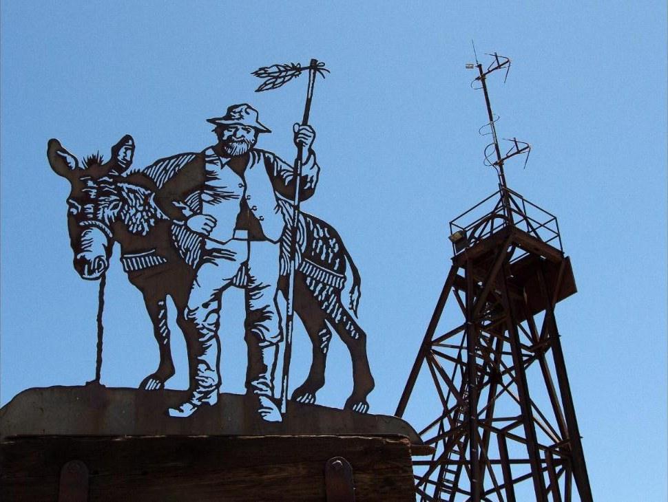
In the 1890s, gold pulled fortune seekers into the desert at the foot of the Superstition Mountains. A mining camp called Goldfield got its own post office in 1893, and for a few wild years it boomed. By 1897 the mines had closed, and the post office followed in 1898. The town emptied out and became a true ghost town.
The Superstitions are also home to Arizona's most famous treasure story: the Lost Dutchman's Gold Mine. Jacob Waltz, a German immigrant known as "the Dutchman," was said to have found a rich vein of gold somewhere in these mountains. He died in Phoenix in 1891 without ever revealing where it was, and treasure hunters have been searching for it ever since.

The Apache Trail and the stagecoach days
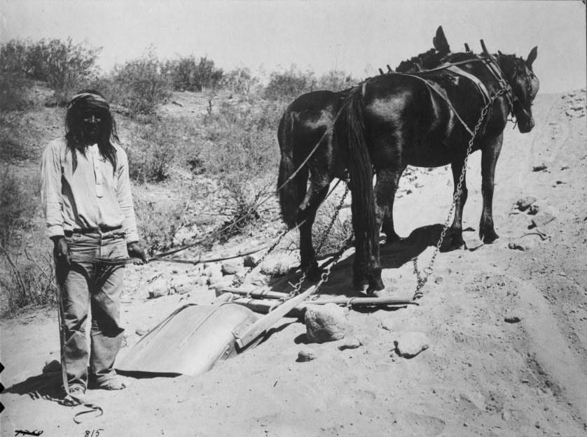
In 1903, crews started cutting a road through the canyons to haul supplies to the Roosevelt Dam site upriver. It was called the Tonto Wagon Road, and Apache workers did much of the hard labor building it. The road was finished in 1905, and Tortilla Flat began in 1904 as a stagecoach stop and freight camp along the way. It's still there today, just up the road from Canyon Lake.
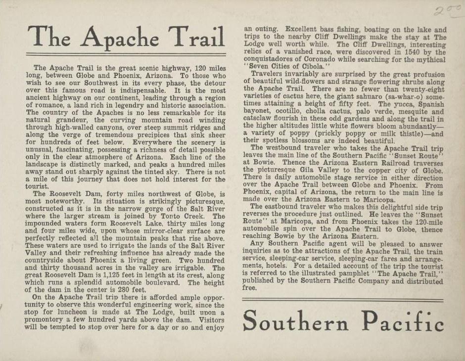
Once the road was done, tourists followed. The Southern Pacific Railroad sold "Apache Trail" side trips by automobile stage between Phoenix and Globe, and the name stuck. The trail still winds right past Canyon Lake as State Route 88.
Mormon Flat and the making of Canyon Lake
Before the lake, this stretch of the Salt River was a rocky canyon with a spot called Mormon Flat, named for Latter-day Saint (Mormon) settlers from Utah who stopped there to camp. In 1923 the Salt River Project began building a dam here for water, power and flood control.
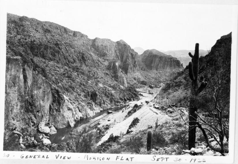
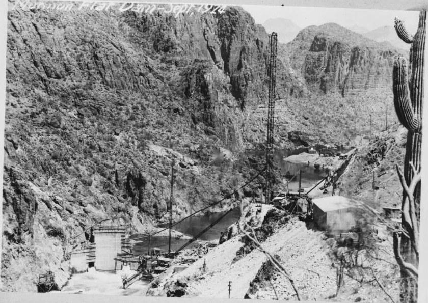
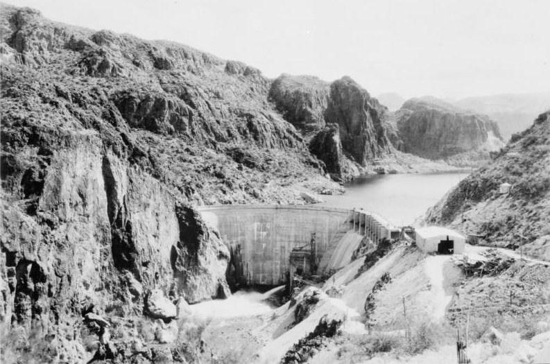
Mormon Flat Dam was finished in 1925, and the water rising behind it became Canyon Lake: about 950 acres of water tucked between the canyon walls, and the smallest of the four lakes on the Salt River.
From work lake to play lake
Canyon Lake has been a vital resource for Arizona for a century. It provides flood control, irrigation water and hydroelectric power, and after World War II it became a favorite spot for boating and fishing. Today there's more effort than ever to protect the lake's water quality and wildlife.
Paddling paradise
Canyon Lake is a calm, beautiful place to paddle. The water, the scenery and the wildlife make it a perfect kayaking and paddleboarding destination.
- Water conditions: Water temperatures typically run from the mid-70s to low 80s °F in summer and the mid-60s in the cooler months.
- Wildlife: The lake is home to bass, crappie, catfish and trout. You may also see eagles, hawks, herons and ducks, plus deer, javelina and coatimundi along the shore.
Paddle past the same canyon walls the stagecoaches rattled by a hundred years ago. Whether you're a seasoned paddler or it's your first time out, Canyon Lake is a true gem of the Arizona landscape.
Sources: Mormon Flat Dam, Apache Trail, Tortilla Flat, Goldfield, Lost Dutchman's Gold Mine.
Canyon Lake reopens early 2027
The full 2027 schedule is open now.
Book for 2027